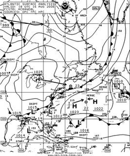
Surface Chart recorded this afternoon. It depicts an area of low pressure that is currently located off the Coast of Georgia. This system has the potential to acquire tropical characteristics, as it drifts slowly NW over the course of the next 24hr, however this is starting to look less likely this will occur. It also now seem that it will not play any role in our weather later this weekend, or early next week.


0 Comments:
Post a Comment
<< Home