Sunday, December 16, 2018

Mid-December Winter Storm Update One


URGENT - WINTER WEATHER MESSAGE...UPDATED
National Weather Service Gray ME
823 PM EST Sun Dec 16 2018

...WINTRY WEATHER EXPECTED OVERNIGHT...

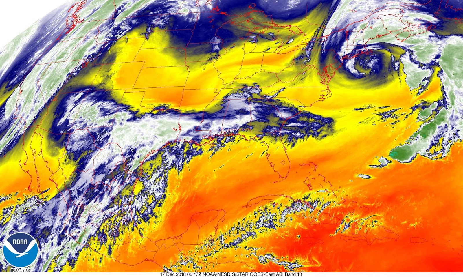
.Low pressure moving to our east tonight will deliver a mix of
precipitation, mainly in the form of heavy, wet snow overnight
into Monday morning. Light icing is possible as light freezing
rain could mix in at times. The heaviest precipitation is expected
to fall prior to dawn, but slippery conditions are likely for the
Monday morning commute.

MEZ014-018>028-171200-
/O.CON.KGYX.WW.Y.0030.181217T0300Z-181217T1600Z/
Southern Somerset-Interior York-Interior Cumberland-Androscoggin-
Kennebec-Interior Waldo-Coastal York-Coastal Cumberland-Sagadahoc-
Lincoln-Knox-Coastal Waldo-
Including the cities of Athens, Cornville, Skowhegan, Palmyra,
Pittsfield, Embden, Madison, Hollis, Alfred, Lebanon, Sanford,
Goodwins Mills, Buxton, Limington, Berwick, New Gloucester, Gray,
North Windham, Gorham, Bridgton, Greene, Lewiston, Sabattus,
Wales, Minot, Turner, Auburn, Livermore Falls, Augusta, Sidney,
Windsor, Vassalboro, Waterville, China, Palermo, Brooks, Jackson,
Knox, Liberty, Montville, Morrill, Waldo, Winterport, Unity,
Biddeford, Saco, Old Orchard Beach, Kittery, Portland,
Cape Elizabeth, South Portland, Westbrook, Yarmouth, Brunswick,
Arrowsic, Bath, Phippsburg, Bowdoinham, Topsham, Bowdoin,
Whitefield, Dresden, Alna, Bremen, Bristol, Damariscotta,
Newcastle, Boothbay Harbor, Wiscasset, Waldoboro, Owls Head,
Rockland, Appleton, Camden, Hope, Rockport, Thomaston, Belfast,
Northport, Searsmont, and Lincolnville
823 PM EST Sun Dec 16 2018

...WINTER WEATHER ADVISORY REMAINS IN EFFECT UNTIL 11 AM EST
MONDAY...

* WHAT...Mixed precipitation expected. Total snow accumulations
  of 2 to 5 inches and ice accumulations of a light glaze
  expected.

* WHERE...Portions of south central and southwest Maine.

* WHEN...Until 11 AM EST Monday.

* ADDITIONAL DETAILS...Plan on slippery road conditions tonight
  and likely for the Monday morning commute.

PRECAUTIONARY/PREPAREDNESS ACTIONS...

A Winter Weather Advisory means that periods of snow, sleet or
freezing rain will cause travel difficulties. Expect slippery
roads and limited visibilities, and use caution while driving.

For a more precise forecast for your specific location...go to
www.weather.gov/gray.

&&
$$

Mid-December Winter Storm


URGENT - WINTER WEATHER MESSAGE
National Weather Service Caribou ME
258 PM EST Sun Dec 16 2018

MEZ005-006-010-011-031-032-170400-
/O.NEW.KCAR.WW.Y.0038.181217T0800Z-181218T0600Z/
Northern Penobscot-Southeast Aroostook-Central Piscataquis-
Central Penobscot-Southern Piscataquis-Northern Washington-
Including the cities of Millinocket, East Millinocket, Patten,
Medway, Houlton, Hodgdon, Sherman, Smyrna Mills, Greenville,
Monson, Blanchard, Lincoln, Howland, Springfield, Dover-Foxcroft,
Milo, Guilford, Danforth, Vanceboro, and Topsfield
258 PM EST Sun Dec 16 2018

...WINTER WEATHER ADVISORY IN EFFECT FROM 3 AM MONDAY TO 1 AM EST
TUESDAY...

* WHAT...Snow expected. Total snow accumulations of 3 to 7 inches
  are expected.

* WHERE...Northern Penobscot, Southeast Aroostook, Central
  Piscataquis, Central Penobscot, Southern Piscataquis and
  Northern Washington Counties.

* WHEN...From 3 AM Monday to 1 AM EST Tuesday.

* ADDITIONAL DETAILS...Plan on slippery road conditions,
  including during the morning commute on Monday. In addition,
  some reductions to visibility are likely. Winds gusting as
  high as 25 mph will cause patchy blowing and drifting snow.

PRECAUTIONARY/PREPAREDNESS ACTIONS...

A Winter Weather Advisory for snow means periods of snow will
cause primarily travel difficulties. Expect snow covered roads
and limited visibilities, and use caution while driving. The
latest road conditions for Maine can be obtained by going to
newengland511.org.

&&
$$

3:33 PM AST Sunday 16 December 2018
Special weather statement in effect for:

Halifax Metro and Halifax County West
A mix of wintry weather expected Monday and into Tuesday.

A slow moving low pressure system will track south of Nova Scotia on Monday and then cross Cape Breton Island Monday night. Snow mixed with rain will develop from southwest to northeast across Nova Scotia beginning tonight and Monday morning. Some freezing rain is possible over the northern half of the province; however it is not expected to be long-lasting. The precipitation will persist into Tuesday.

General snowfall amounts of more than 10 cm are likely by the end of the day Tuesday, with locally higher amounts possible. Atlantic coastal areas of mainland Nova Scotia and Cape Breton will see a mix of rain and snow which will reduce the overall snowfall amounts.

Additionally, gusty easterly and then northwesterly winds are expected and a Les Suetes wind warning has been issued for Monday evening. These winds may also cause reduced visibility in blowing snow on Tuesday as temperatures begin to fall below freezing.

Higher than normal water levels and pounding surf are likely Tuesday afternoon and evening along the west coast of Cape Breton Island after the winds shift to strong northwesterly.

Please continue to monitor alerts and forecasts issued by Environment Canada. To report severe weather, send an email to NSstorm@canada.ca or tweet reports using #NSStorm.

3:32 PM AST Sunday 16 December 2018
Special weather statement in effect for:

Queens County P.E.I.
Another shot of wintry weather expected on Monday and into Tuesday.

A slow moving low pressure system will track south of Nova Scotia on Monday and then cross Cape Breton Island Monday night. Snow will develop Monday afternoon accompanied by gusty easterly winds. The snow will then mix with rain later in the day over the eastern half of the Island. Snow will likely persist into Tuesday giving accumulations in excess of 10 cm. Strong northwesterly winds will develop in the overnight hours on Monday night, causing it to turn colder on Tuesday. These winds may cause reduced visibility in blowing snow on Tuesday, as well as higher than normal water levels and rough pounding surf along the northern coastline of Queens and Kings counties during Tuesday's high tide.

Please continue to monitor alerts and forecasts issued by Environment Canada. To report severe weather, send an email to PEstorm@canada.ca or tweet reports using #PEStorm.

3:31 PM AST Sunday 16 December 2018
Special weather statement in effect for:

Fredericton and Southern York County
Significant snowfall likely Monday and into Tuesday.

A slow moving low pressure system will track south of Nova Scotia on Monday and then cross Cape Breton Island Monday night. Snow will develop Monday morning in the southwest, and will spread across the province by the afternoon. The snow will persist into Tuesday. Total snowfall amounts of up to 20 centimetres or more are possible for communities across southern and eastern New Brunswick. Note that this is below warning criteria, which is 15 cm over a 12 hours period, because the snowfall is more gradual and is spread over 18 to 24 hours.

Additionally, gusty northwesterly winds are expected on Tuesday. These winds may cause reduced visibility in blowing snow.

Please continue to monitor alerts and forecasts issued by Environment Canada. To report severe weather, send an email to NBstorm@canada.ca or tweet reports using #NBStorm.